Works Progress Administration WPA Writers’ Program — American Guide Series 2.0
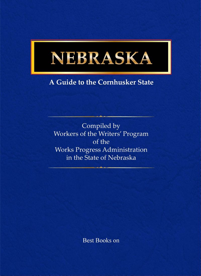
Cover of Nebraska: A Guide to the Cornhusker State, WPA American Guide Series
American Guide Series · Volume 27

Nebraska

A Guide to the Cornhusker State


Read for Free Purchase on Amazon

As an Amazon Associate I earn from qualifying purchases.

From the Original Pages

Another Road Starter

Some Nebraskans, wrote Addison E. Sheldon in his 1939 foreword, still remembered what it meant to cut the first wagon track across an unbroken sea of grass — to find their own fords, devise their own gully crossings, and leave a trail that others could follow and improve. He called this book “another road starter,” and the description fit. It was the first attempt to gather the story of Nebraska’s land and people, together with a guide to every corner of the state, into one compact and portable volume: the first Nebraska Baedeker.

The work behind that modest claim was considerable. Sheldon noted that more than a hundred writers, researchers, draftsmen, and photographers had been drawn into Federal service for over two years. They handled thousands of books, newspapers, and manuscripts, and they traveled the state from the black prairie soil along the Missouri to the pine-ridge country beyond the sandhills. The Nebraska State Historical Society, which sponsored the guide, lent its staff in an advisory and critical role, while the editors of the Federal Writers’ Project shaped the final manuscript.

In their own preface, J. Harris Gable and his colleagues described the guide frankly as a group enterprise. Field workers — assisted, they noted, by volunteer consultants and even schoolchildren — gathered the raw material: they interviewed old settlers, combed newspaper files, consulted every available record, and clocked the mileage for the tours along state and federal highways. District and branch offices checked the field notes; the state editors then tried to see Nebraska in broad perspective while preserving the flavor of local material, giving preference, they wrote, to midwestern idiom and spelling.

That double ambition — the wide view and the close particular — gives the book its character. The State in Review opens the volume with essays on the natural setting, the Indians, the long arc of history from exploration to statehood, and the distinctive unicameral legislature, then moves through agriculture, industry, transportation, the ethnic elements, folklore, education, the arts, architecture, the press, and literature. Cities and Towns profiles Beatrice, Fremont, Grand Island, Hastings, Lincoln, Norfolk, North Platte, and Omaha in turn. The heart of the guide is its Tours: thirteen numbered routes, with their lettered branches and sections, that thread the state from the Missouri bluffs to the Wyoming line and from the Dakota border down to Kansas and Colorado.

The editors made no claim to be the last word. They asked readers who found errors to report them, so corrections might be made in future editions — the confidence of people who knew their book was a beginning rather than a conclusion. More than eighty years on, that openness is part of its appeal. Like the wagon road Sheldon remembered, the guide was meant to be followed, tested, and improved, a trail laid down for anyone who came after.

As Printed

Contents

Table of Contents

Transcribed from the original
Front Matter
Foreword, by Addison E. Sheldon, Nebraska State Historical Societyv
Prefacevii
General Informationxix
Calendar of Eventsxxiii
I. The State in Review
Modern Nebraska3
Natural Setting6
Geography and Climate; Geology and Paleontology; Animal Life; Plant Life; Natural Resources and Their Conservation
Indians26
Prehistoric Culture; Historic Indians
History44
Period of Exploration; Territorial Organization; Settlement; Statehood
Government69
The Unicameral Legislature
Agriculture and the Farmer73
Industry and Labor82
Transportation and Communication90
Ethnic Elements101
Folklore and Folkways105
Education and Religion114
Art and Music120
Architecture127
The Press133
Literature137
II. Cities and Towns
Beatrice147
Fremont154
Grand Island162
Hastings169
Lincoln176
Norfolk205
North Platte211
Omaha219
III. Tours
Tour 1. (Sioux City, Iowa)–South Sioux City–Tekamah–Omaha–Nebraska City–Falls City–(Hiawatha, Kans.); 205 m. [US 73-77, US 73E, US 73-75, US 73]257
Section a. Missouri River–Omaha, 99.2 m.258
Section b. Omaha–Kansas Line, 105.8 m.267
Tour 1A. Omaha–Bellevue, 5.5 m. [State 31]277
Tour 1B. Junction with US 73-75–Rock Bluffs, 6 m. [Unnumbered road]280
Tour 2. (Sioux City, Iowa)–Winnebago–Fremont–Lincoln–Beatrice–(Marysville, Kans.); 200 m. [US 73-77, US 73W-77, US 77]282
Tour 3. (Yankton, S. Dak.)–Norfolk–Columbus–York–Fairmont–Hebron–(Belleville, Kans.); 235.8 m. [US 81]287
Tour 4. (Fairfax, S. Dak.)–Butte–O’Neill–Bartlett–St. Paul–Grand Island–Hastings–Red Cloud–(Lebanon, Kans.); 241.4 m. [US 281]291
Tour 5. (Colone, S. Dak.)–Springview–Bassett–Taylor–Ansley–Kearney–Elm Creek–Holdrege–Alma–(Woodruff, Kans.); 257 m. [US 83]297
Tour 6. (Hot Springs, S. Dak.)–Chadron–Alliance–Bridgeport–Sidney–(Sterling, Colo.); 174 m. [State 19]301
Tour 7. (Sioux City, Iowa)–South Sioux City–O’Neill–Valentine–Chadron–Harrison–(Lusk, Wyo.); 446.8 m. [US 20]305
Section a. Missouri River–Bassett, 180.9 m.306
Section b. Bassett–Wyoming Line, 266 m.311
Tour 8. (Missouri Valley, Iowa)–Fremont–Grand Island–Kearney–North Platte–Sidney–(Cheyenne, Wyo.); 447.7 m. [US 30]325
Section a. Missouri River–Kearney, 178.1 m.327
Section b. Kearney–Ogallala, 145.4 m.336
Section c. Ogallala–Wyoming Line, 124.3 m.344
Tour 8A. Maxwell–Fort McPherson National Cemetery–Cottonwood Canyon, 5.1 m. [Unnumbered road]348
Tour 8B. North Platte–Maywood–McCook, 75.7 m. [US 183]350
Tour 9. (Council Bluffs, Iowa)–Omaha–Lincoln–Hastings–Holdrege–McCook–Imperial–(Holyoke, Colo.); 389.2 m. [US 6]352
Section a. Omaha–Hastings, 161.7 m.353
Section b. Hastings–Colorado Line, 227.5 m.356
Tour 10. (Sidney, Iowa)–Nebraska City–Lincoln–Grand Island–Alliance–Crawford–(Ardmore, S. Dak.); 525.6 m. [State 2]360
Section a. Missouri River–Grand Island, 151.4 m.361
Section b. Grand Island–S. Dak. Line, 373.6 m.365
Tour 11. (Rockport, Mo.)–Brownville–Beatrice–Franklin–Trenton–(Wray, Colo.); 386.3 m. [State 3]372
Section a. Brownville–Oxford, 248.3 m.372
Section b. Oxford–Colorado Line, 138 m.378
Tour 12. Ogallala–Oshkosh–Bridgeport–Scottsbluff–(Torrington, Wyo.); 155.5 m. [US 26]382
Tour 12A. Bridgeport–Chimney Rock–Gering–Scotts Bluff National Monument–Horse Creek Treaty Monument–Wyoming Line, 59.4 m. [State 86]388
Tour 13. Junction with US 20–Ponca–Niobrara–Lynch–Butte–(Burke, S. Dak.); 169.3 m. [State 12]394
IV. Appendices
Chronology401
Bibliography407
Index413
For the Record

Bibliography

Title
Nebraska: A Guide to the Cornhusker State
Author
Federal Writers’ Project of the Works Progress Administration for the State of Nebraska
Series
American Guide Series · Volume 27
Sponsor
the Nebraska State Historical Society
Foreword / Preface
Foreword by Addison E. Sheldon, Superintendent, Nebraska State Historical Society; Preface by J. Harris Gable, Rudolph Umland, and Norris Getty.
Publisher
The Viking Press, New York
Date & Printings
1939. First published June 1939. Printed in U.S.A. by The Stratford Press.
Physical Description
Octavo. Illustrated with photographic plates, line maps, and a folding highway map. Front matter, signed introductory essays, city descriptions, numbered highway tours with lettered branches, chronology, bibliography, and index.
Subjects
Nebraska — Description and travel — Guidebooks; Nebraska — History; Automobile travel — Nebraska; Federal Writers’ Project.

Search this title on WorldCat →